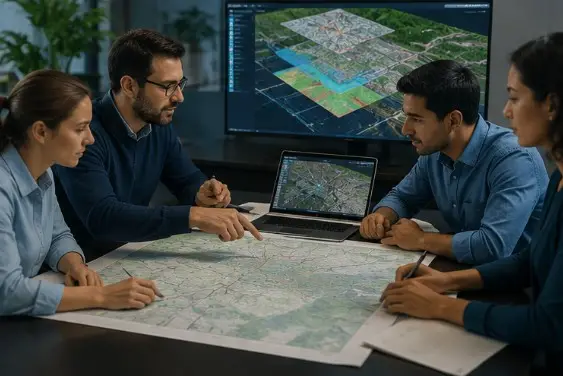
Empowering smarter decisions through location intelligence
GEOLINK LLC
"The ‘where’ is a powerful thing. It helps us see the world in interconnected ways."
- Jack Dangermond
Industries We Serve
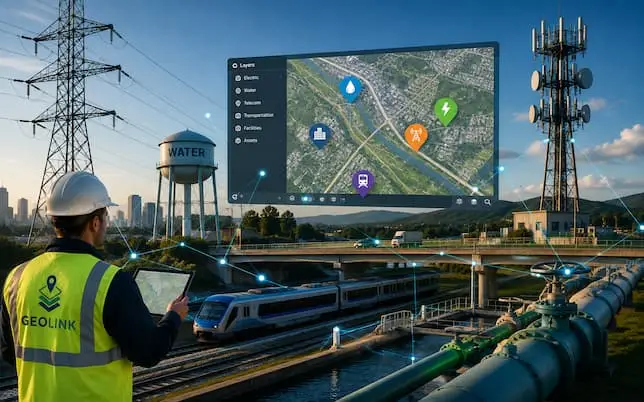
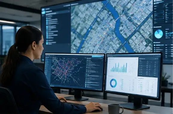
Utilities & Critical Infrastructure
Supporting electric, water, telecommunications, transportation, and other essential networks with GIS-based asset intelligence, mapping, and operational insights.
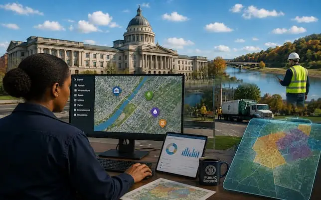
Government & Public Sector
Supporting federal, state, local, and municipal agencies manage public assets, plan communities, monitor environmental resources, and make location-informed decisions.
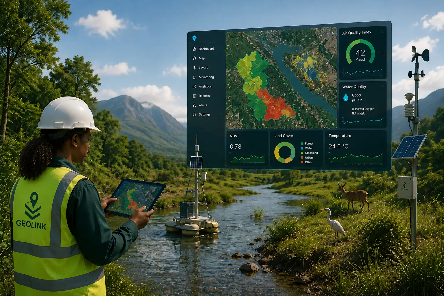
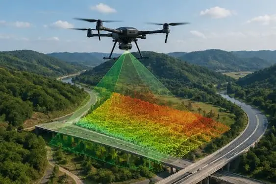
Environmental & Natural Resources
Applying GIS, remote sensing, field data, and spatial analytics to support environmental monitoring, natural resource and waste management, land-use planning, conservation, climate resilience, and environmental planning
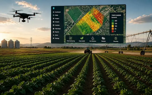
Agriculture & Land Management
Using GIS technology and remote sensing to support precision agriculture, crop monitoring and yield analysis, land management, agricultural planning, resource monitoring, and site assessment for improved productivity and sustainable land use.
Powering Smarter Decisions
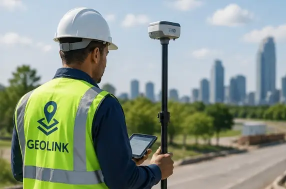
GEOLINK LLC equips organizations to transform geospatial data into actionable insights through enterprise GIS, spatial analytics, GIS data management and QA/QC, workflow automation, field data solutions, and infrastructure intelligence. We support smarter infrastructure, environmental and natural resource management, agriculture and land management, asset operations, and evidence-based planning.
Practical geospatial solutions begin with understanding the problem, the data, and the operational environment. GEOLINK combines industry knowledge with modern GIS technologies to improve workflows, strengthen data quality, manage assets and resources, and support projects from field collection through analysis and implementation.