The GEOLINK Difference
Empowering Smarter Decisions with Geospatial Technology
From enterprise GIS implementation and asset intelligence to field data collection and technical training, GEOLINK delivers innovative geospatial solutions that improve operational efficiency, strengthen infrastructure management, and unlock the full value of location intelligence.
Geospatial Consulting & GIS Solutions
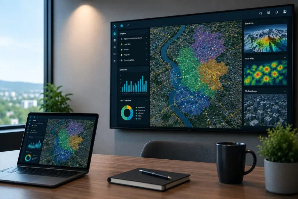
Enterprise GIS implementation, digital mapping, and geospatial consulting designed to enable organizations visualize and analyze. We provide strategic guidance, GIS platform solutions, software integration, and technical expertise to maximize the value of geospatial investments. Our capabilities include GIS data management, geodatabase design, data conversion and migration, GIS QA/QC, data validation, workflow automation, system integration, and decision-support solutions.

Infrastructure & Asset Intelligence
GEOLINK delivers spatial data management, asset mapping, and geospatial intelligence solutions for infrastructure, utilities, telecommunications, transportation, and environmental applications. Our solutions integrate GIS software, field data collection technologies, and geospatial equipment to improve asset visibility, optimize operations, and support informed decision-making through location-based insights.
GIS Training & Technical Support
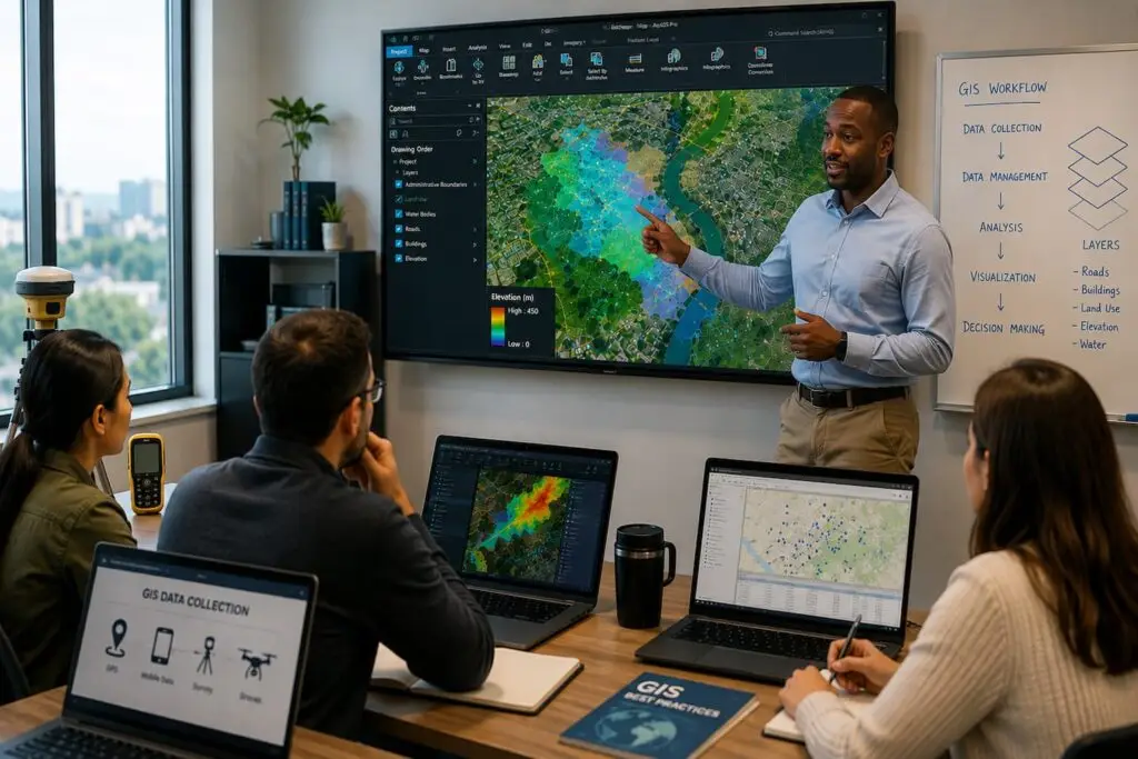
Professional GIS training programs, technology deployment support, and ongoing technical assistance to empower teams with geospatial expertise and industry best practices. We support organizations with GIS software configuration, field data collection workflows, equipment setup, data validation and standards, and QA/QC procedures for GIS professionals, field teams, engineers, project managers, and other users.
Field Data Collection & Reality Capture
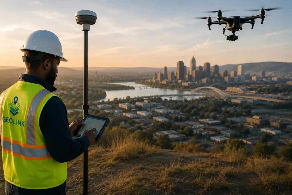
GEOLINK provides professional field data collection and reality capture solutions using GNSS/GPS, mobile GIS, drones, laser scanning, and digital survey technologies. We help organizations collect accurate, up-to-date spatial information for infrastructure inventories, utility networks, environmental monitoring, asset inspections, and construction projects. Our field-to-office workflows ensure reliable, high-quality geospatial data that supports informed decision-making and long-term asset management.
Why GEOLINK LLC
GEOLINK combines industry knowledge with modern geospatial technologies to help organizations transform location-based data into actionable insights. Our team delivers scalable GIS solutions that improve operational efficiency, strengthen infrastructure management, and support informed decision-making across the entire asset lifecycle.
- Enterprise GIS Strategy
- Spatial Data Management
- Digital Transformation
- Trusted Technical Expertise
What You Get
Partnering with GEOLINK means more than implementing GIS technology. We provide long-term strategic support, practical solutions, and reliable technical expertise that help organizations maximize the value of their geospatial investments while reducing operational complexity.
- Better Asset Visibility
- Data-Driven Decision Making
- Improved Operational Efficiency
- Long-Term GIS Support